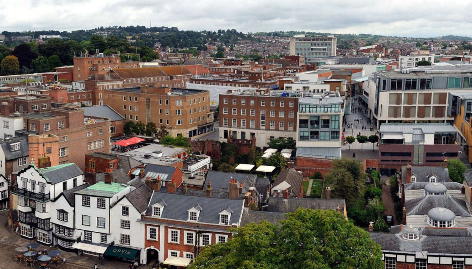
How the city could develop over 20 years
The first public consultation on a plan that will shape the future of Exeter for the next 20 years is now live.
Once finalised, the long-awaited Exeter Plan – the first new local plan for the city in 10 years – will be the blueprint that shapes the city’s future development.
An initial eight-week consultation on the first draft is now open until Monday 5 December. More will follow before the plan is refined and eventually adopted.
It addresses issues like climate change, homes and jobs, the future of high streets, transport and infrastructure and design quality. Around 30 policies are included, reflecting points raised from the first ‘issues’ consultation on the emerging plan in 2021.
The draft includes the city’s spatial strategy and highlights the benefits of steering the majority of development – around 85 per cent – towards brownfield sites to protect the city’s landscape setting and environmental quality.
It also proposes to consider “modest, greenfield development as a supplement to brownfield schemes” and to protect the “sensitive Exe Estuary and the sensitive hills to the north and north west of the city,” whilst avoiding areas of higher flood risk where possible.
Based on the government’s calculation that Exeter needs to provide 650 homes a year, a number of locations are identified. These include eight large strategic places, smaller council-owned sites, those promoted by third parties and a small number of allocated sites not yet built on. They are:
Large scale brownfield development sites: Mixed use
- Marsh Barton – 1,880 (homes)
- Water Lane – 1,180
- East Gate – 750
- Red Cow – 430
- Sandy Gate – 250
- North Gate – 200
- West Gate – 200
- South Gate – 170
Predominantly residential sites:
- St Bridget Nurseries, Old Rydon Lane – 334 (homes)
- Land to the north, south and west of the Met Office – 225
- Land south of the A379 – 184
- 12-31 Sidwell Street – 51
- Land east of Newcourt Road, Topsham – 43
- Devon & Exeter Squash Club, Prince of Wales Road – 40
- Land at Newcourt Road, Topsham – 38
- Land adjoining Silverlands, Chudleigh Road – 37
- Belle Isle Depot, Belle Isle Drive – 33
- Land west of Newcourt Road, Topsham – 31
- Chestnut Avenue – 26
- Former overflow car park, Tesco, Russell Way – 18
- Land behind 66 Chudleigh Road – 16
- Land east of Pinn Lane – 14
- Land at Hamlin Lane – 13
- Yeomans Gardens, Newcourt Road, Topsham – 13
- Fever & Boutique, 12 Mary Arches Street – 10
- 88 Honiton Road – 10
- Garages at Lower Wear Road – 9
- 99 Howell Road – 6
Introducing the plan to the council’s executive earlier this month, director of city development Ian Collinson said: “I’ve not seen another statutory local plan anywhere in the country that’s brought together the vision for the place in the way that we’ve done here.”
While he said it was a “coherent plan,” Mr Collinson added: “This is not a done deal and there will be lots of opportunities for people to shape it.”
Council leader Phil Bialyk (Labour, Exwick) introduces the document. He says: “Exeter is a fantastic city and I know that all of our residents feel the same way, so it is very important that everyone has a say on how it develops in the future.
“That’s why we want everyone to make sure their voices are heard. We’re reaching out to all of our communities and businesses with the draft plan. It will touch the lives of everyone living in the city as well as those working, studying in or visiting Exeter, so everyone needs to own it and have a say.”
The council has a legal duty to prepare planning policy for the city. The Exeter Plan will replace earlier development plans.
As well as being available on an interactive online platform called Commonplace, hard copies of the consultation can also be found in some public places, as well as at a series of public exhibitions.
A report will be brought back to the council’s executive exploring the comments made in the consultation and how they will shape the next stage of the plan.
Further consultation will then be held next year.
 MP highlights Devon's dentistry 'crisis'
 Work on ‘once-in-a-generation’ Newton Abbot project back on track
 Complaints made after animal activity licence backlog
 City draw at home
 Cars damaged in bid to buy cheaper
 Torbay Council considers 'fire and re-hire' in pensions wrangle
