Plan amended to fight off developers
Land identified for a potential new school in an East Devon village has been protected from being open to possible housing development after a late change to a district-wide plan.
Councillors debating where development boundaries should be drawn for various communities in East Devon made a change to the area of Tipton St John that can be identified as land that could be built on for housing.
Councillor Jess Bailey (Independent, West Hill and Aylesbeare), whose ward covers Tipton St John, raised concern that if the land that the new school will hopefully be built on was included in the so-called settlement boundary – the area where the notion of housing development is established – then the council might face issues trying to prevent developers proposing housing there.
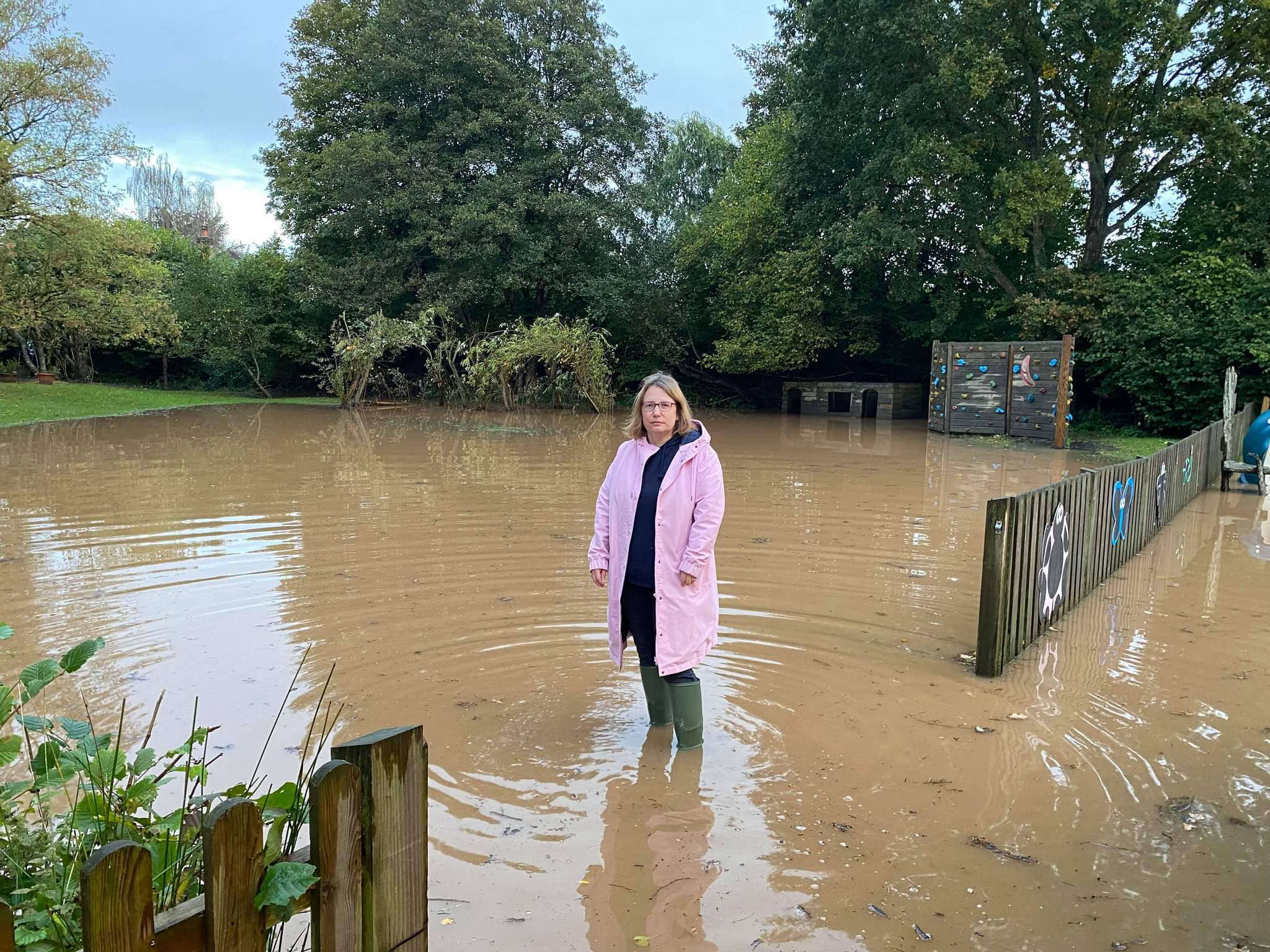
The community is hoping for a new school to be built in the village given the existing site is in a flood zone and has previously flooded.
“If the boundary for Tipton St John is drawn like it is in the proposal, then it is effectively undermining our decision that it should be a school and nothing else,” she said.
“If it’s in the settlement boundary and a proposal for housing comes forward, it could be really difficult to reject it.”
The debate was part of many that have taken place in East Devon in recent months to create the authority’s new local plan, which will identify where in the district houses can be built all the way out to the 2040s.
Cllr Bailey’s comments came in the latest meeting of East Devon’s strategic planning committee (Friday 22 November) and led to the council agreeing to redraw Tipton’s settlement boundary so that the new school location is not included – a move in line with Cllr Bailey’s wishes.
Planning officer Ed Freeman had said that other policies in the local plan would work to prohibit any housebuilding on the site, and so the need for a boundary redraw was not necessary.
However, he acknowledged that if the school wasn’t built in that location, then the authority could face a challenge if it tried to reclassify that parcel of land as exempt from development but a planning application was submitted for it.
“If we put the site in the settlement boundary and the school isn’t built, then there would be a contradiction in the local plan,” he said.
“We could try and argue against a planning application and refuse it based on the wording in the local plan, but there is a significant risk that a housing developer could appeal, and then a planning inspector could say to us that the land is in the settlement boundary,” Mr Freeman said.
“So I think it is best to redraw the boundary as that makes the most sense, and we’ll just have to accept that it is departing from our criteria and is inconsistent, but that is due to these unique circumstances.”
The strategic planning committee’s chair, Councillor Todd Olive (Liberal Democrat, Rockbeare and Whimple) proposed that due to the bespoke situation with Tipton St John, the boundary should be redrawn.
Some other councillors expressed potential reservations about this, with Councillor Mike Howe (Independent, Clyst Valley) stating that he agreed in principle with the boundary redraw, but that he feared the authority could be criticised for a lack of consistency.
This was because in other towns and villages, there were examples where land had been included within a settlement boundary even though it was not aimed at being for housing.
This includes a site in Lympstone which has been designated for housing, but part of the allocation has been identified as a location for a football pitch.
The committee voted six in favour of redrawing the Tipton St John boundary, with two opposing the move and two abstaining.
 Devon man to run round mainland Britain
 Decision on Exeter swimming pool due this week
 South Hams tourism down, but average spending up
 More East Devon council workers leaving
 Dartington pool expected to reopen
 Honiton man jailed for terrorism-related crimes
